
When a Metes and Bounds Survey Helps Clarify an Unplatted Historic Neighborhood Parcel
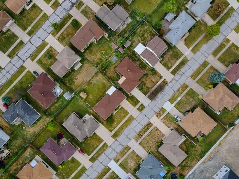
Older neighborhoods don’t always follow neat lot numbers. Some parcels were never part of a recorded subdivision plat. Instead, their boundaries live inside old deeds, written out in bearings, distances, and landmarks. A metes and bounds survey is the tool that makes sense of this kind of parcel. It takes those old written words and turns them into a clear picture of the land today. This matters most in historic neighborhoods, where deeds may be decades old and lot lines were never mapped the modern way.
Reading the Metes and Bounds Description That Defines the Parcel
An unplatted parcel doesn’t have a simple lot number to point to. Instead, it has a written description. This description uses bearings, which are compass directions. It uses distances, measured in feet. It often names monuments, such as an iron pipe or a stone marker. It may also mention the neighboring landowners at the time the deed was written.
Each of these details is called a “call.” One call might read something like “north 40 degrees east, 120 feet to an iron pin.” String enough calls together, and you get a full loop around the parcel. That loop is the boundary.
A surveyor’s first job is to read through all these calls in order. This builds the framework for the whole survey.
Connecting Historic Deed Calls to Present-Day Site Evidence
Once the calls are laid out, the surveyor heads to the property. The goal here is simple. Match the old written words to what still exists on the ground.
This isn’t always easy. Old deeds sometimes point to features that have changed. A tree mentioned in a 1920s deed may be long gone. A stream may have shifted over the years. A fence line might not sit exactly where the deed says it should. Surveyors use their training to read between the lines and figure out what the original writer most likely meant.
This takes patience. Every call gets checked against real, physical evidence, whenever that evidence can still be found. The result is a bridge between an old piece of paper and the actual dirt, trees, and markers on site today.
Resolving Gaps Between Successive Historic Property Descriptions
In older neighborhoods, one parcel might have passed through many owners. Each time it changed hands, someone wrote a new deed. And each new deed sometimes changed the wording just a little.
Maybe one deed rounds a distance to the nearest foot. Maybe the next deed uses a slightly different bearing. Names of neighboring owners change too, since deeds often refer to “the property now owned by so-and-so.” A surveyor has to trace this whole chain, deed by deed, to see how the description evolved over time.
This helps sort out small differences before they become real problems. If one deed says 100 feet and the next says 98 feet, that gap needs an explanation. Careful review of the full chain usually points to which measurement fits the actual site.
Showing How an Unplatted Parcel Fits Between Adjoining Properties
Without a subdivision plat, there’s no map showing where one lot ends and the next begins. A metes and bounds survey fills that gap. It shows exactly how the parcel sits next to the properties around it.
This part of the process leans on the neighboring deeds too. If a deed for the property next door describes a shared boundary, the surveyor compares it with the description for the parcel in question. When both sides agree, the shared line is easy to confirm. When they don’t quite match, the surveyor works through the evidence to figure out where the true line most likely falls.
This matters most in tight, older neighborhoods, where lots were laid out before formal platting was common. The survey gives everyone, from the property owner to the neighbor next door, a clear answer instead of a rough guess.
Creating a Clear Survey Record for Future Property Decisions
Once the calls are checked, the site evidence is reviewed, and the deed chain is traced, the survey comes together as one finished document. This gives the parcel something it never had before: a clear, current, and detailed record.
This record has real, lasting value. A future buyer can use it to understand exactly what they’re purchasing. A lender can use it to confirm the parcel matches the loan paperwork. A title company can use it during a title review. It also becomes useful if the owner ever wants to build, subdivide, or make any other change to the land.
For a parcel that has relied on old deed language for generations, this survey is often the first time the boundary has ever been shown clearly on a modern map.
Frequently Asked Questions
What is a metes and bounds survey for an unplatted parcel?
It’s a survey used for property described by bearings, distances, monuments, and other boundary calls, rather than by a recorded subdivision lot and block. It turns written deed language into a clear boundary on the ground.
Why are metes and bounds descriptions common in older neighborhoods?
Many of these properties were created before modern subdivision plats became standard practice. Their boundaries kept being described through deed calls and references to neighboring tracts, rather than through a mapped lot system.
Can two historic deeds describe the same parcel differently?
Yes. Wording, measurements, referenced owners, and monuments can all vary between older documents. That’s exactly why these descriptions need to be compared carefully, deed by deed, rather than taken at face value on their own.
Does a metes and bounds survey create a new legal description?
The survey documents the parcel based on the applicable records and field evidence. Whether a new legal description gets written up depends on the purpose and scope of that particular survey.