
Land Surveying Near Creeks: What Every Property Owner Should Understand
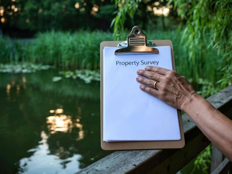
Owning land next to a creek brings natural beauty and extra outdoor space, but it also comes with unique rules and details you will not find on most other lots. Land surveying gives you clear facts about your property lines, how the waterway sits in relation to your land, and what you can and cannot do near the water. Without this information, you may face unexpected limits or misunderstandings about what belongs to you.
Many people assume the edge of the creek marks their exact boundary, but this is not always true. Records drawn up years ago may not match how the land looks today. Getting accurate details early helps you make smart choices and avoid problems later.
Why Creeks Create Unique Property Questions That Don’t Exist on Standard Lots
Creeks are living parts of the landscape, and they change over time. Unlike a road or a fence line, they do not stay in one fixed position forever. This creates questions about where your property begins and ends, how you can use the space along the bank, and who is responsible for keeping the area clear and stable.
Even small changes in the water flow can shift soil or wear away the bank, which changes how the land looks from one year to the next. These shifts do not happen on lots without water features, so standard property records often do not cover them fully. Because of this, properties near creeks need closer review to understand the actual limits and responsibilities that come with the land.
Natural Waterways Don’t Always Match Recorded Property Descriptions
Most property deeds and maps describe boundaries using measurements or landmarks that were set many years ago. Over decades, rain, erosion, and seasonal flow can move the creek channel a few feet or even farther from its original location. The paper record stays the same, but the real boundary marker in the landscape changes.
When the written record and the actual site do not line up, it becomes hard to know exactly where your land ends and your neighbor’s begins. Comparing old documents with current measurements shows you how much difference exists. This process relies on creek boundary verification to give you a true picture of the property as it stands today.
Planning Improvements Near a Creek Starts With Reliable Site Information
If you want to build or add features near the water, you first need to know how much space you actually have and where rules apply. Common projects near creeks include:
- Fences or retaining structures along the bank
- Walking paths or small viewing areas
- Landscaping to prevent soil loss
- Simple docks or access points where allowed
Each of these changes needs to stay within your property lines and follow local rules. Without accurate measurements, you might place a fence too close to the water or build something that later needs to be moved. Land surveying marks the exact limits, so you can plan your work with confidence and avoid having to undo what you have built.
Why Professionals Beyond Surveyors Depend on Accurate Creek-Side Property Data
More people than just surveyors use this information when working on land near waterways. Civil engineers look at measurements to plan drainage and prevent flooding. Landscape architects use the details to design plants and features that protect the bank. Environmental consultants check the layout to make sure changes do not harm water quality or wildlife.
Permit offices also need clear records before they approve any work. They want proof that your project stays within legal limits and does not affect the natural flow of the creek. When everyone uses the same set of facts, plans move forward faster and with fewer mistakes. You can rely on site boundary mapping to keep all parties on the same page and reduce delays.
Protecting the Long-Term Value of Creek-Front Property Through Land Surveying
A property near a creek holds value because of its location and natural features, but that value can drop if boundaries are unclear or projects run into issues. Having a current survey gives you a permanent record of where your land sits in relation to the waterway. This record stays useful for years, whether you want to make changes, manage the land, or sell in the future.
It also helps you care for the land properly. You will know exactly which areas you maintain and which belong to others or to public agencies. This clear understanding reduces conflict and makes it easier to follow rules that keep the creek healthy. In the long run, knowing your land’s true limits helps you enjoy your property while keeping its worth strong.
Frequently Asked Questions
Does owning property next to a creek automatically include ownership of the creek bed?
Not always. Ownership depends on how the deed was written and local laws. In many cases, the waterway itself or the land beneath it belongs to the state or local government, even if you own the bank along the edge.
Can a creek change the appearance of property boundaries over time?
Yes. Slow shifts caused by erosion or sediment buildup can move the channel gradually. These changes alter the physical landscape, even if the written description in your deed remains the same.
Why is Land Surveying recommended before building improvements near a creek?
It shows you exactly where your property lines lie and notes any limits or rules that apply. This prevents you from building too close to the water or crossing into areas you do not own.
Can Land Surveying help identify recorded easements associated with a creek-front property?
Yes. Surveyors review public records and mark any easements or rights-of-way that allow access or use of the land. These details are important to know before starting any work.
Should a Land Survey be updated before purchasing undeveloped land with a creek?
Definitely. Old surveys may not show how the creek has shifted or where new limits apply. An updated survey gives you the full picture before you buy, so you know exactly what you are getting.
How can Land Surveying support future property maintenance near natural waterways?
It provides clear markers and measurements you can use for years. If you need to fix erosion, trim trees, or make repairs, you will know exactly where to work without crossing boundaries or disturbing protected areas.